


Explore Nebraska’s rivers, lakes, and streams with this detailed hydrology map. Features stunning 3D-rendered terrain and minimalist design.
$25.00 – $89.00Price range: $25.00 through $89.00
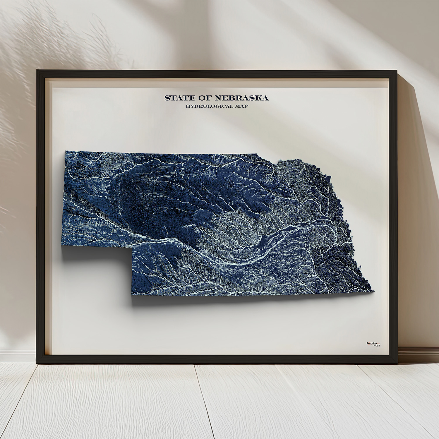
Discover Nebraska’s intricate surface water systems with this Nebraska hydrology map, a visually striking cartographic print that highlights rivers, lakes, and streams across Nebraska in stunning detail. Featuring 3D-rendered terrain and streams symbolized by Strahler stream order, this map transforms complex hydrological data into an elegant work of art.
Printed on premium photo paper using archival quality giclée inks, our Nebraska hydrology map offers exceptional color accuracy, sharp linework, and long-lasting quality. Whether you’re a geographer, hydrologist, educator, or simply a lover of beautiful maps, this piece makes a meaningful addition to any home, office, or classroom.
Framed option: black woodgrain, plexiglass front, hanging hardware included
✔ Key Features & Benefits
✔ 3D Rendered Terrain
✔ Museum-Quality Printing
✔ Educational & Decorative
✔ Made in the USA: Designed and printed in Colorado