


Vintage 1917 World Map that has been carefully restored and reimagined using modern high-resolution elevation and bathymetric data.
$39.00 – $89.00Price range: $39.00 through $89.00
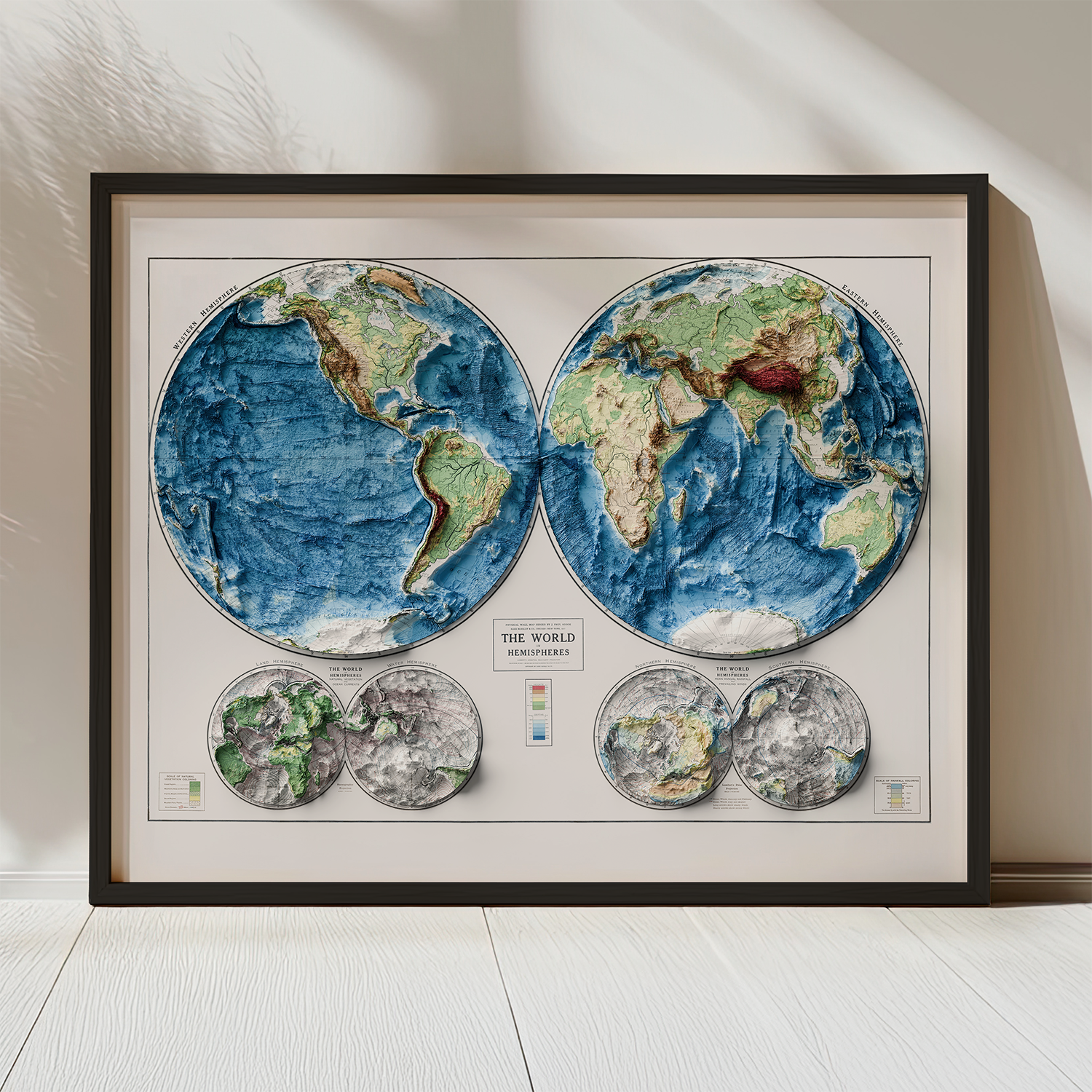
Experience the world as it was mapped in 1917 – now brought to life with extraordinary modern detail. Originally created by renowned cartographer J. Paul Goode for the Rand McNally Atlas, this Vintage 1917 World Map has been carefully restored and reimagined using modern high-resolution elevation and bathymetric data.
Mountain ranges are dramatically lifted, deep ocean topography is revealed, while vintage text and legend elements retain their nostalgic charm. Whether you’re a history enthusiast, map lover, or have a discerning eye for home decor, this map print makes a statement in any room.
Perfect for history buffs, map collectors, travelers, educators, and lovers of vintage decor, this museum-quality print elevates any space – home offices, studies, libraries, or modern interiors seeking a timeless accent.
Key Features
Made in the USA: designed and printed in Colorado
Framed option: black woodgrain, plexiglass front, hanging hardware included